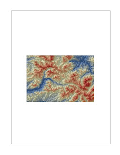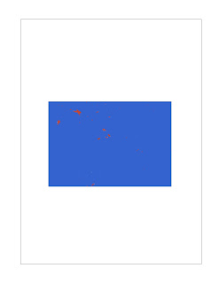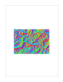


 From top to bottom: Shaded relief map layered over a hillside model, slope map, aspect map, 3d rendering of my DEM
The DEM I have chosen is a 1" by 1" area of the Sierra Nevada Mountain Range within California, near Lake Tahoe. The extent of the map is 38.738 degrees North to 38.426 degrees North and -120.154 degrees West to -119.702 degrees West using the GCS North American 1983 coordinate system. Both the shaded relief map and 3d rendering show that the selected DEM contains many mountains and hills. The red represents higher elevations and the blue represents lower elevations, so by seeing the whole range of colors in the image I can tell that this region is very mountainous. The slope map appears to be mostly blue, a color used to show areas of high slope. This observation agrees with the steep nature of the terrain. Lastly, the aspect map color codes the DEM depending on which direction it is facing. As this is a mountain range, there is a homogeneous mixture of every color except for gray, which is used to denote flat regions.
No comments:
Post a Comment